2015眾志成城閃電秀_geo things
TRANSCRIPT

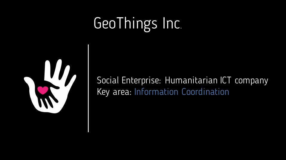
GeoThings Inc.
Social Enterprise: Humanitarian ICT companyKey area: Information Coordination

disaster response
citizens government
social media mass media
volunteers
charity org.

disaster response
citizens government
social media
volunteers
charity org.
satellite

The need for universal coordination platform
1. Data coherenceDisaster reports, social posts, openData, satellite imaginary used together for issue identification and data analytics
2. Connecting stakeholdersGovernment agency connects with NGOs, volunteers and citizens
3. Resource tunnelingResource requests, donations integrated with NGOs and
volunteers

disaster
citizens
social media
volunteerssatellite
openData
Data coherence
Data received from:1. citizen posts2. social media posts3. openData
gets assessed and verified by:1. statistical analysis2. volunteers3. satellite imaginary
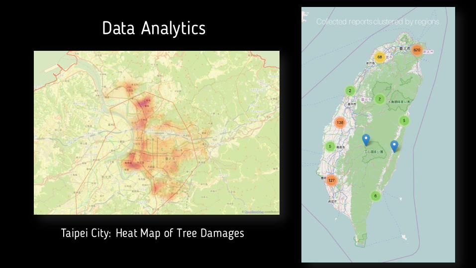
Data Analytics
Taipei City: Heat Map of Tree Damages
Collected reports clustered by regions

Volunteers - One Way To Categorize Data
Satellite imaginary: Forest cut down? Social Post Purpose Identification
citizens
government
volunteers
charity org.
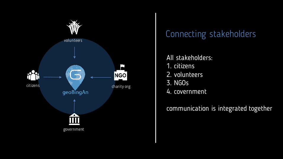
Connecting stakeholders
All stakeholders:1. citizens2. volunteers3. NGOs4. covernment
communication is integrated together

response
donors
volunteers
charity org.
Resource tunneling
Resources needs such as:1. funds2. volunteers3. supplies
are linked to particular issue andget contributed to assigned NGOsresponsible for issue response

Thank you!Taras Vozniuk, GeoThings Inc.
[email protected](graphical components used in this presentation includes vector imaginary from freepik.com, flaticon.com)